Investigations
What we’ve studied
We’ve been studying the local area since 2019 to collect data on the local environment.
These investigations are helping us plan for our offshore wind project. The information we collect will inform the project's environmental assessments, design and construction.
We’re working closely with all levels of government and the Gunaikurnai Land and Waters Aboriginal Corporation to plan and undertake our investigations.
Completed site investigations include:
-
Wind and wave monitoring
We monitored wind and wave conditions for 2.5 years to confirm the project’s feasibility. Floating detection and measurement devices, called floating LiDARS, collected data from November 2019 until late 2022.
Seabed geophysical study
We used soundwave equipment to map the seafloor, measure water depths and identify any buried infrastructure such as cables.
Seabed geotechnical study
We spent five weeks at sea collecting soil and rock samples from up to 70 m beneath the seafloor to help inform turbine foundation design and placement. Find out more about the campaign.
Birds
Bird specialists surveyed seabirds and shorebirds from the air, by boat and along the coastline. We also surveyed colonies on nearby islands and installed sound monitors to understand population numbers. Key birds species were fitted with GPS tags to track their movements 24/7 and pinpoint foraging areas and migration routes.
Fish and invertebrates
Fish specialists completed net surveys and used underwater cameras to film fish in 130 locations in winter 2020 and summer 2021. We’ve also monitored the movements of CSIRO tagged white sharks in and around our 2019 Exploration Licence area, and studied pelagic fish which swim closer to the water’s surface. In 2023 we surveyed pelagic fish, using underwater video cameras to understand the types of fish species in the area.
Marine mammals and turtles
Marine mammal specialists completed two years of surveys by air, boat and with underwater sound recorders called marine hydrophones. The recorders pick up calls from up to 20 km away and help identify different species and behaviours. Seals from local colonies were fitted with GPS tags to track their movements 24/7.
Benthic surveys
We surveyed plants and organisms on the seafloor by underwater video at 80 locations. We also collected around 200 samples of sand, sediments and other materials from the seafloor for analysis.
Coastal processes (tides and currents)
We collected data on currents and natural sediment movement with two wave and current monitors placed on the seabed along the coastline.

Floating LiDAR wind and wave monitor
-
Native plants and animals
Ecologists and zoologists started detailed surveys for native plants and animals along our proposed transmission route in 2020.
Plant surveys involve recording the amount, type and quality of native vegetation. Animal surveys identify if the area is used by native animals. Information is collected using a range of survey methods including remote sensing cameras, hair tubes, searching for droppings, playing recorded animal calls and listening for responses, and visual searches.
Aboriginal cultural heritage surveys
Archeologists and representatives of the Gunaikurnai Land and Waters Corporation (GLaWAC) surveyed the project’s transmission route to investigate for evidence of Aboriginal cultural heritage.
Soil and ground conditions
Soil testing and ground surveys along the proposed transmission route are now complete.

Investigations to test ground conditions
Marine survey program
We’ve completed over two years of detailed marine environment surveys in the Bass Strait.
The collected data is now being analysed and specialists will use the findings in environmental assessments, expected to be released publicly in 2024.
The program involved over 13,000 hours of work, collecting more than 50,000 observations.
We used 9 local vessels to undertake some of the surveys, tapping into local knowledge and expertise.

Underwater camera

Humpback whales spotted via aerial surveys
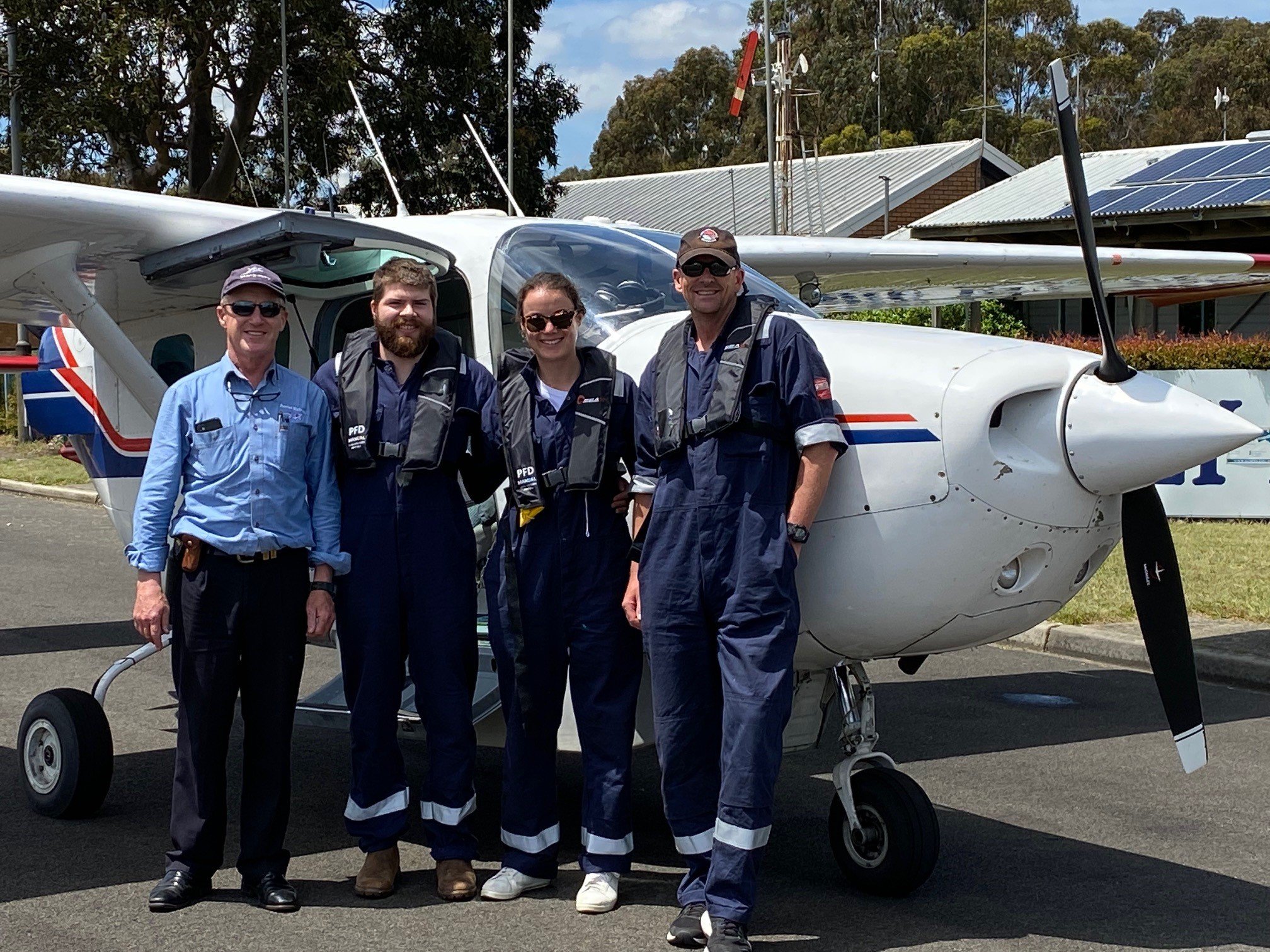
Aerial survey crew

Setting our from Port Albert to survey fish with underwater cameras

Sea sponges

Short -tailed Shearwater
Hear from the scientists
Fish surveys
Learn about our underwater camera surveys and the fish we saw.
Bird surveys
Find out how boat-based surveys were used to monitor seabirds in Bass Strait.
Aerial surveys
We used leading technology to survey birds from the air.
Keeping you informed
Find notifications about investigations and Notice to Mariners in notifications.
Notice to Mariners are also distributed via the Australian Hydrographic Service.
Commercial fishers who subscribe to South Eastern Trawl Fishing Industry Association (SETFIA) SMS updates will receive SMS updates from us.
Register for monthly e-news updates or follow us on Facebook for all the latest project news.